Wedderburn - Nardoo Trail


The 1.5km Nardoo Trail is a pleasant walk along either side of the (generally dry) Nardoo Creek, which runs through Wedderburn and joins the Korong Creek at the southern end of town.
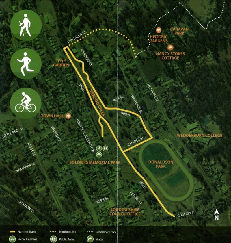
Nardoo Trail Map

Originally part of the Torpichen Station, the alluvial gullies were soon to change after gold was first discovered in 1852. The Post Office opened in 1856 as the town developed. Some of the world's largest nuggets have been found in the region, the most famous being the 'Hand of Faith' near Kingower and the 'Welcome Stranger' at Moliagul. Modem day prospectors still try their luck around Wedderbum with occasional nuggets being unearthed.
Today the town is much quieter than during the gold rush and offers a relaxing and welcoming vibe. Take your time to walk the Nardoo and then wander about the town to explore the culture and history of the area.
Starting at the Travellers Stop / Soldiers Memorial Park in Chapel St, walk around 600m north to TantaIla Street. Cross the creek and complete the 900m return loop via the eastern bank and Chapel Street back to the travellers stop. The loop walk will be around 1.5km. The track south to Godfrey St is 0.4km each way.

Things to see
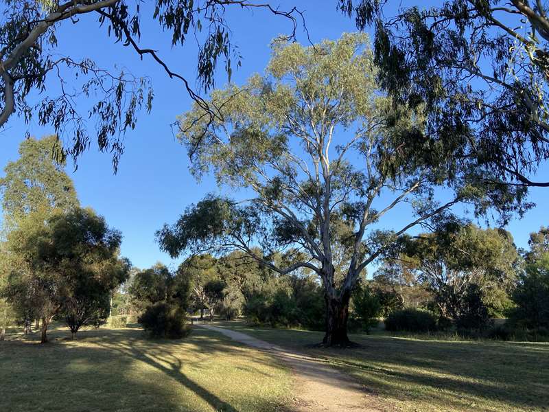
The loop walk offers the opportunity to enjoy the peaceful environment of the Nardoo Creek, which has been completely transformed from its original state but enhanced by tree plantings over more recent years. The word Nardoo refers to the herbaceous fern Marsilea drummondii, a plant that has the appearance of a large clover and traditionally was prepared and eaten by the local aborigines. Nardoo is widespread across the continent and may be seen along the creek if water is present and often found after a flood.
If you wander away from the creek you may enjoy some of the old architectural styles evident in the houses and commercial buildings. Many of the buildings show their heritage adding to the goldfields charm of the township.
If you are seeking a longer walk you can turn right at Tantalla Street, right again into Hospital Street to join the Wedderburn Reservoir loop track that skirts bushland on the eastern edge of town.
Advice for walkers
This is a Grade 1 trail; no bushwalking experience is required. The walk can be done as a return linear trail or return via the trail on the opposite side of the creek. You may encounter snakes, insects or fallen tree limbs. Watch for vehicles when crossing roads.
Temperatures can be very high in the summer: be sure to carry water, wear a hat and apply sunscreen. Toilets, picnic facilities, water and BBQs are available at the rest area.
Review:
A lovely, easy walk through the parkland on defined walking tracks which is very well sign-posted. For kids there is a nice playground near the starting point and for the more energetic there are three outdoor gym stations along the route.
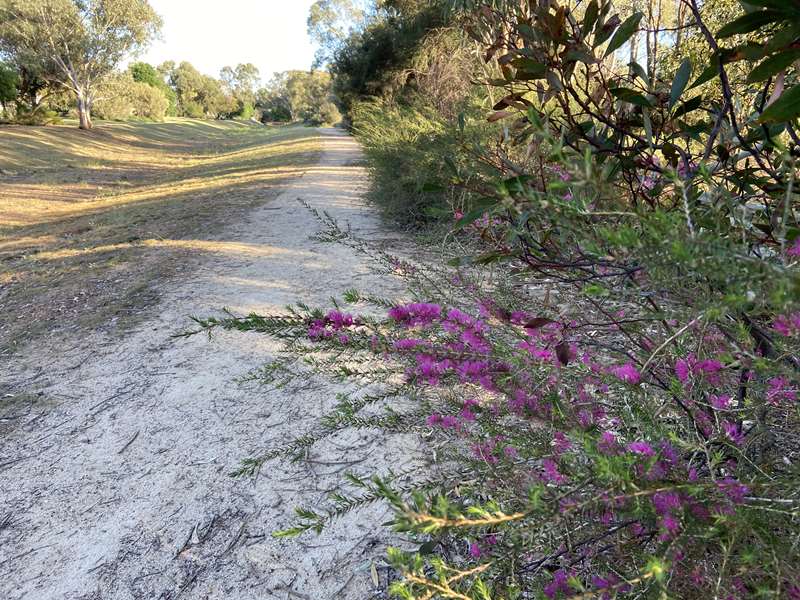
During spring there were lots of beautiful purple flowering bushes on the north bank of the creek (and also a cactus garden).
Photos:
Location
67 Calder Highway, Wedderburn 3518 Map
Web Links
→ Nardoo Trail Notes (PDF)


