Loch Village History Walk

Loch is a town in the South Gippsland region of Victoria which was established in 1876. The town was named in honour of the Governor of Victoria, Henry Loch.
This self-guided walk around Loch begins from the corner of Smith Street and Victoria Road. The village has many cafes and restaurants serving delicious, locally sourced food. Maps can be picked up at local businesses including Olive at Loch, 38 Victoria Road (or use the map below).
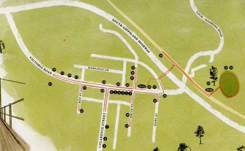
Loch Village History Walk Map
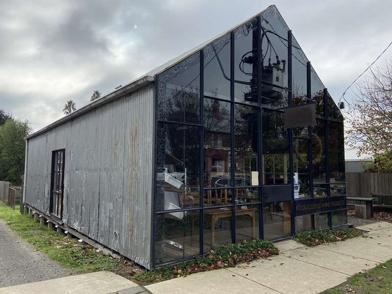
1. Loch Brewery & Distillery
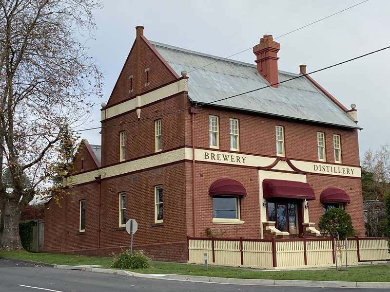
Built in 1902 for the Union Bank.
2. Carringtons of Loch Village
In 1893 it was the boot-maker.
3. Olive at Loch
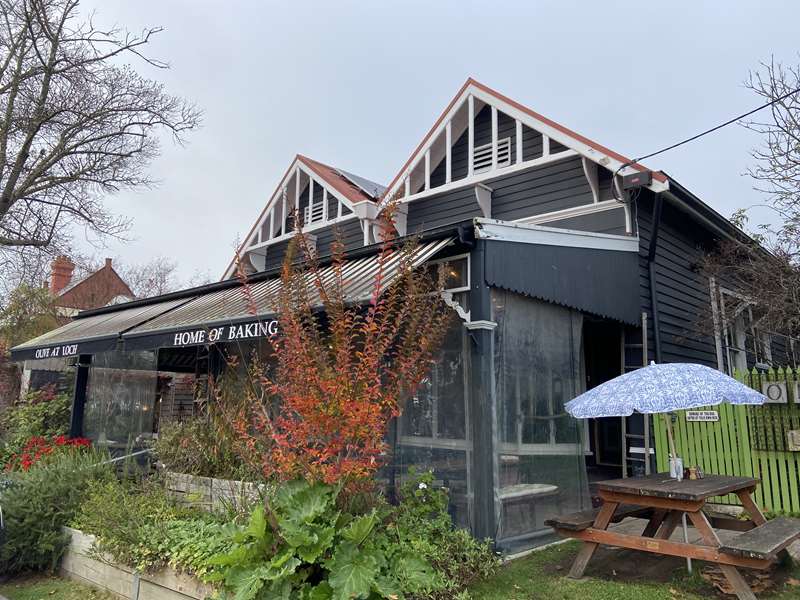
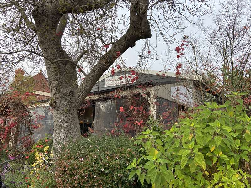
Built in 1890 for the Colonial Bank - follow the side path (on the left) to the rear of the cafe to the building containing the original Loch baker's oven.
4. Yakkity Yak
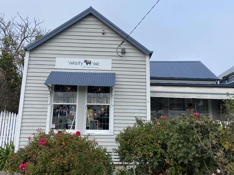
In 1892 it was the saddlery and harness maker.
5. Victoria Street Gallery
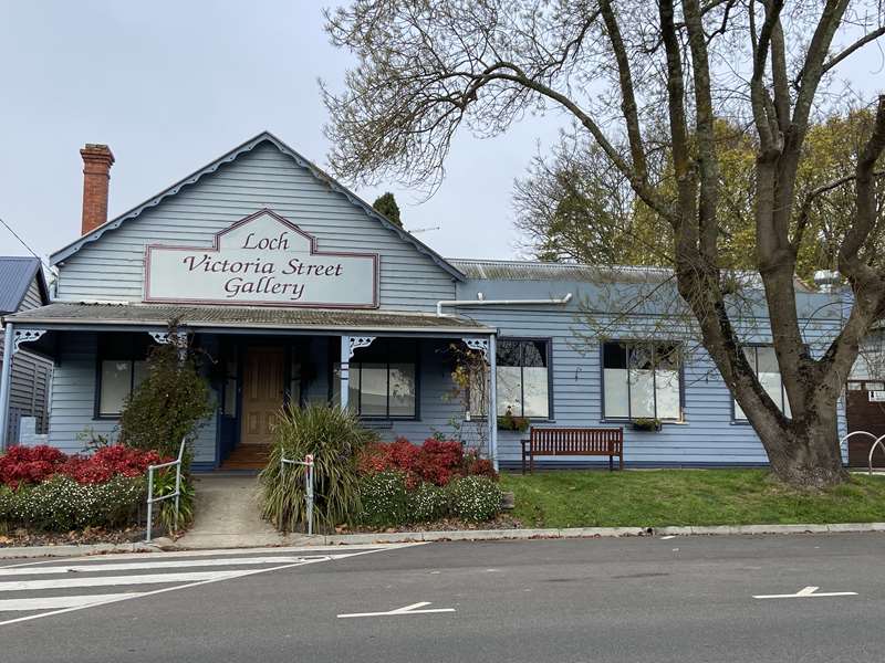
Built in 1893 and used by the Colonial Bank. In the front garden you will find an original plough that was used to build the local roads.
6. Loch & Key
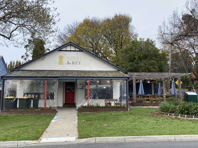
In 1900 this was the newsagent.
Turn left into Clarence Street.
7. 13 Clarence St
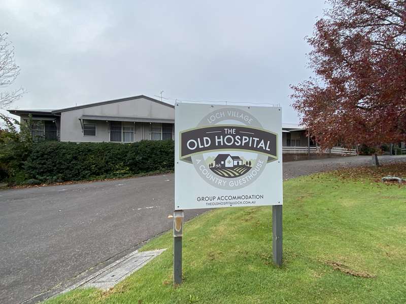
The Old Loch Hospital, built and opened in 1936.
8. 21 Clarence St
Built in 1930, it was once the Police Station.
9. 25 Clarence St
Built in 1909 for Dr Naylor.
Turn around and head back to Victoria Road, then turn left.
10. St Pauls Church of England
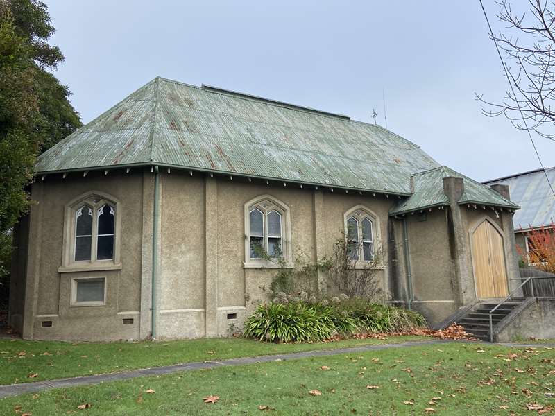
Built in 1924 after the original wooden church was destroyed by fire. The Church of England has been on this site since 1889. Next door is the church hall.
11. Duke of Connaught Masonic Lodge
Built in 1924. Opportunity Lochs operates from the lodge hall, and the Loch Village Post Office is at the front of the building.
Turn left in Roy Street.
12. St Andrews Uniting Church + The Presbyterian Church at the rear)
The Presbyterian Church was originally located next door to the Nissen Hut (number 34) and was relocated to this location in 1963.
Cross the road and walk along the Primary School driveway (Note: this section is only possible out of school hours) Otherwise, head back to Victoria Road and then turn left.
13. Loch Primary School
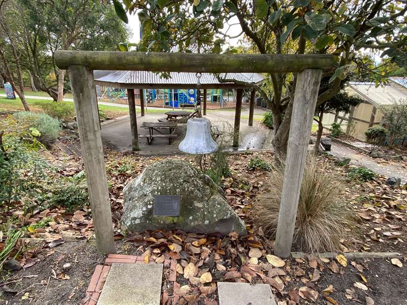
Established in 1889, as you reach the end of the driveway you will see the old school bell and a little further along the building with three gables, this is part of the original school building. Walk down the path beside the bell towards Victoria Road. Look down, the bricks along the path are embossed with the names of past students.
Cross the road and continue back along Victoria Road.
14. St Vincent's Catholic Church
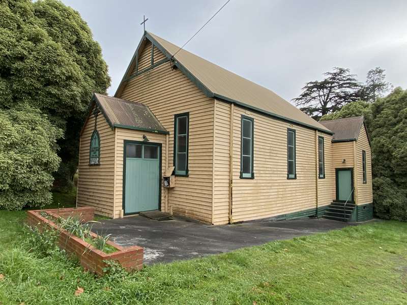
Built in 1903.
15. 5 Victoria St
Was once the Loch Equestrian Store.
16. The Mad Queen
Was once Loch Village Plant Nursery. Lochs of Hair operates from the building on the right.
17. Peter McEwan Ceramics / Loch Pottery

In 1910 this was the Blacksmiths.
18. Centennial Park + Public Toilets
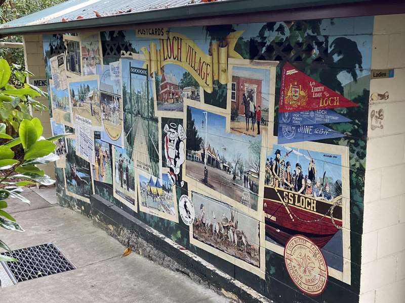
A Village Mural depicts Lochs history.
19. Loch Village Cafe & Foodstore
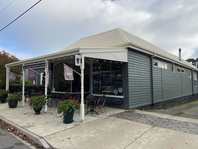
Built in 1887 this was the General Store and newsagent.
20. The Loch Grocer
Built in the 1950's.
Continue along Victoria Road, then turn left into Smith Street.
21. Loch Wine Bar
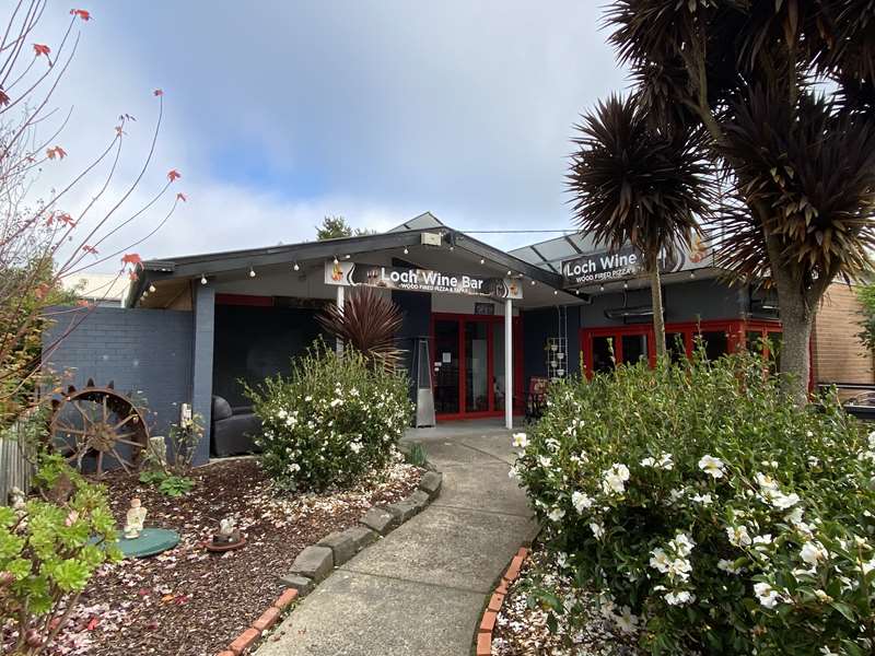
Built in 1964 for the Infant Welfare Centre.
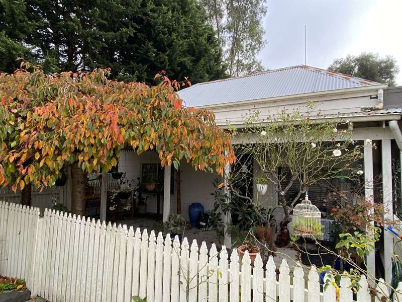
22. 8 Smith St "Greengage House"
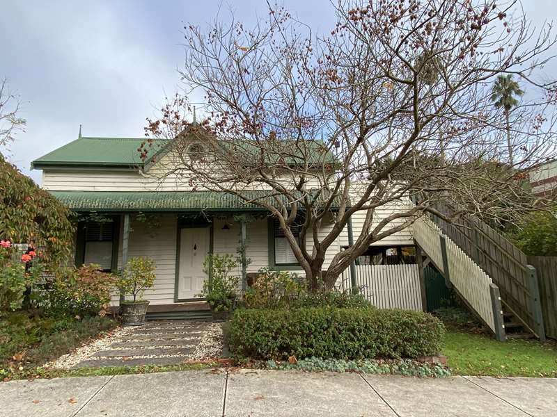
Built in 1890, and was originally located on the site of the Nissen Hut (number 34) and moved to this site in 1910.
23. Royal Hotel
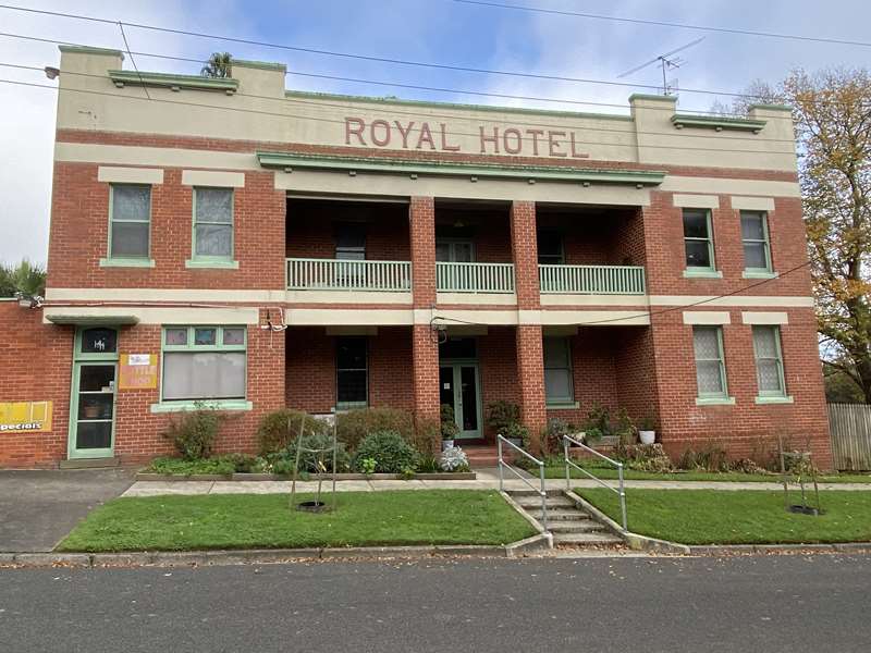
Built in 1916 after the original wooden hotel was destroyed by fire. There has been a hotel on this site since 1888.
Turn around and head back to Victoria Road.
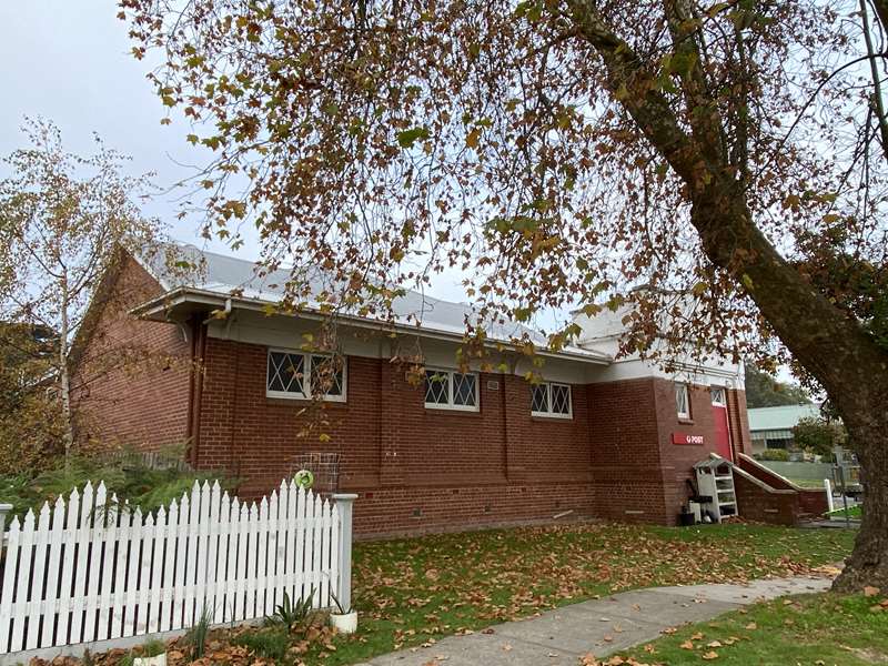
24. Post Office
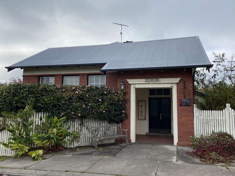
Built in 1915. On the nature strip you will see our war memorial commemorating Loch locals who have served in wars.
Turn left into Victoria Road.
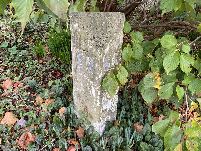
25. In the Post Office garden, you will find the original road signpost showing 68 miles to Melbourne.
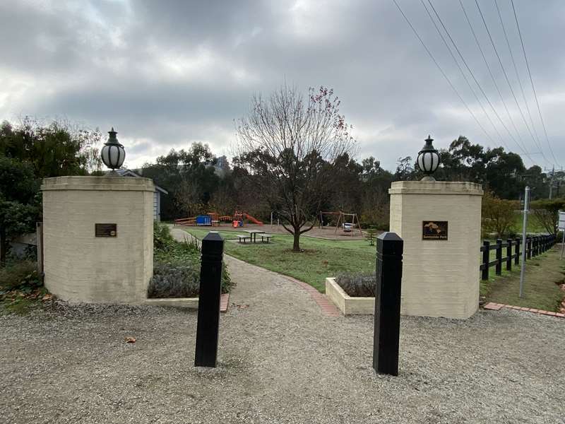
Turn left into Sunnyside Park.
26. Old Police Lock-up
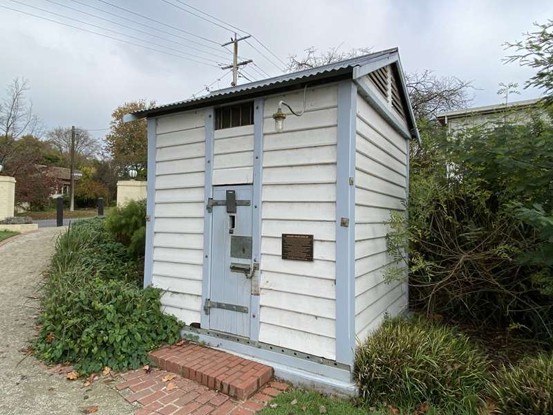
The first lock-up in the district was sent from Melbourne in late 1884 by train to Drouin, then by bullock wagon to the first Police Station in Poowong. Prior to this all prisoners were taken to Grantville, often on foot. The Poowong Police Station was closed on March 22, 1904, when Constable Orgill and the lock-up were transferred to the Loch Police Station in Mary Street, and from there to the north side of the Public Hall in Smith Street. The lock-up was again moved to a new Police Station in Albert Road, and then to another in Clarence Street in 1930. This structure replaced the original, which was of similar dimensions, in 1955, and served the Loch district until the closure of the Clarence Street station in 1997. The lock-up was rescued and transported to this location in Sunnyside Park by the Loch and District Historical Group, with subsequent restoration carried out In 2011.
27. Sunnyside Park - Public Toilets & Drinking Fountain
Follow the path through the park, and head to the underpass mural. Walk through the underpass, view the mural facades and follow the path to the rail trail.
28. The Railway Station site is on the left, the railway line reached Loch in 1890. South Gippsland Tourist Railway operated between Nyora and Leongatha for over 21 years until 2015.
Turn right and follow the 'Rec Reserve' signs, then follow the path to the Suspension Bridge.
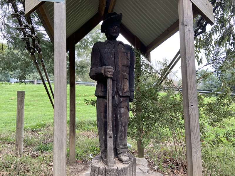
29. Carved Statue of Gordon Timbs
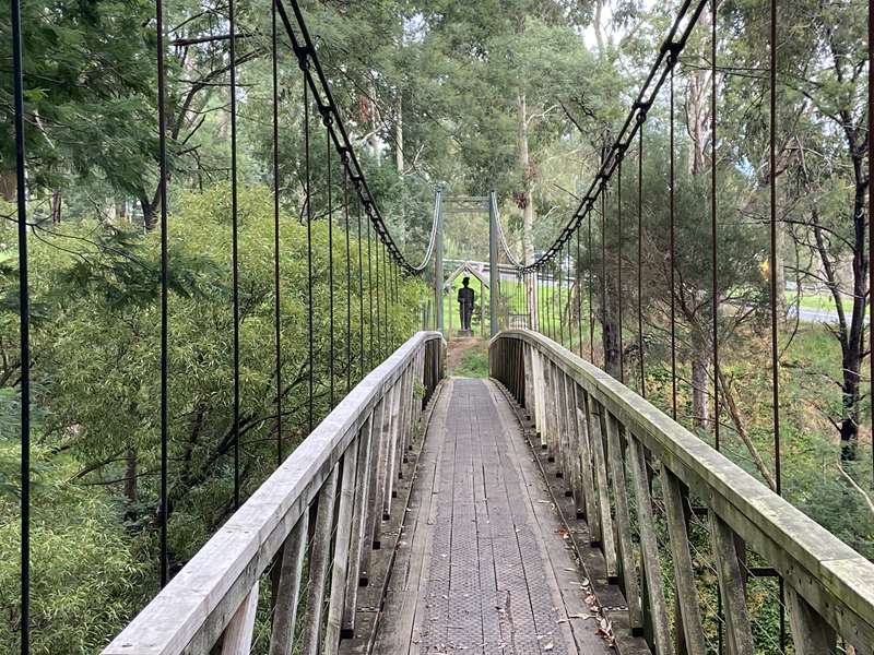
30. Suspension Bridge
31. Loch Memorial Reserve + Public Toilets
At the base of each tree is a plaque honouring our soldiers.
Head towards the main entrance and walk around the oval.
32. The Lone Pine
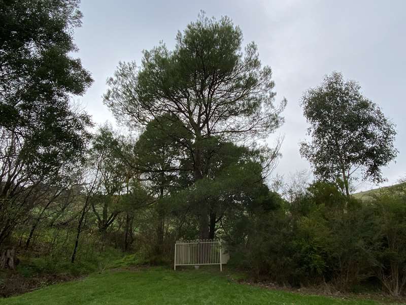
It is surrounded by a fence.
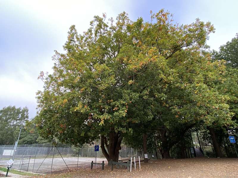
33. The Oak Tree
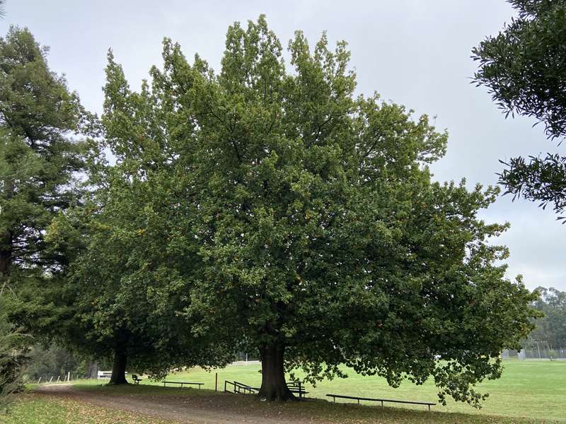
Begins the Avenue of Honour - at the base of each tree is a plaque honouring our soldiers.
Once back at the club rooms, either stroll along Alsop's creek which is located behind the dis-used tennis courts, or walk back over the suspension bridge and follow the 'Town Centre' sign.
When back on the rail trail you can either turn left and walk to Hilda Falls, an easy one-hour return walk. The falls are best seen after it's been raining. Or, turn right, walk back along the rail trail then left and continue through the underpass, then veer left and continue towards Victoria Road.
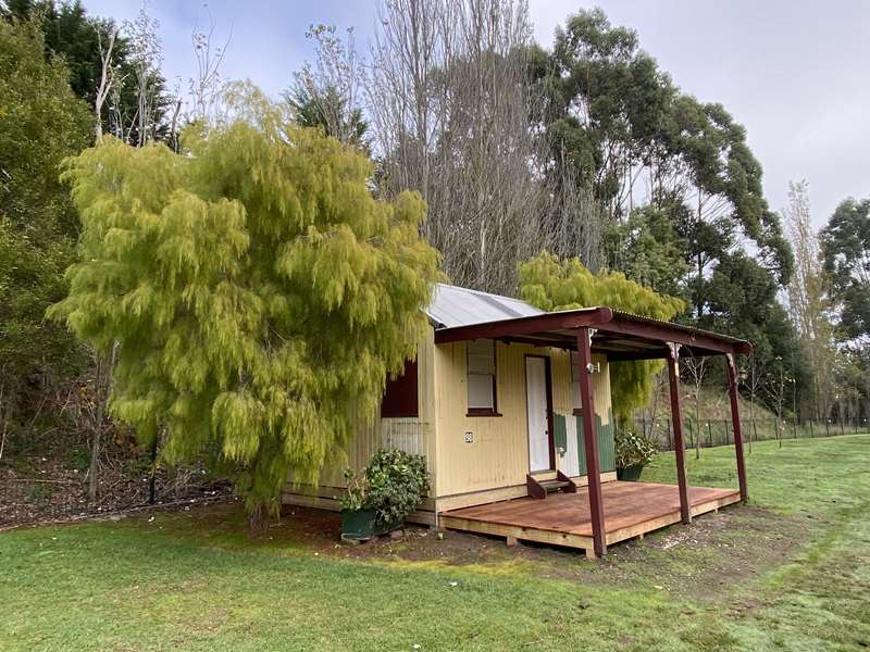
34. Nissen Hut
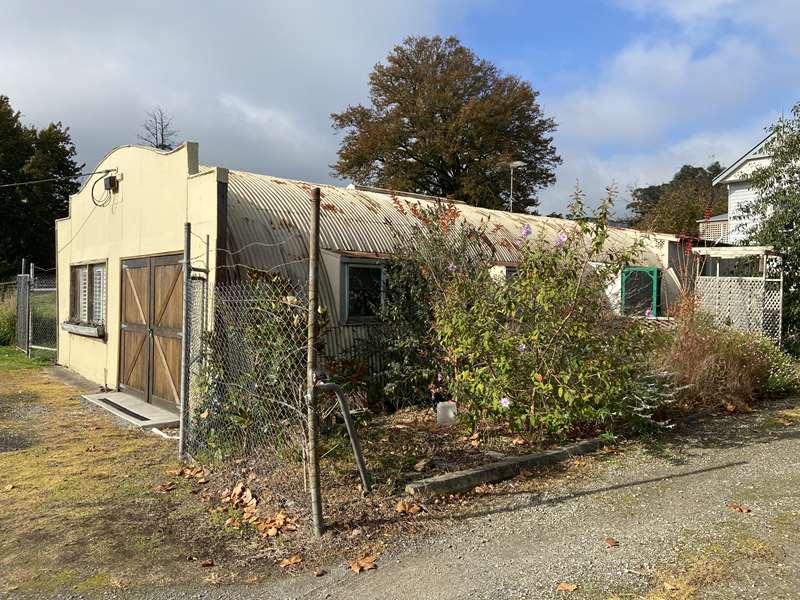
Built in 1954, it was a joinery.
Cross the road and turn left into Mary Street.
35. 2 Mary St
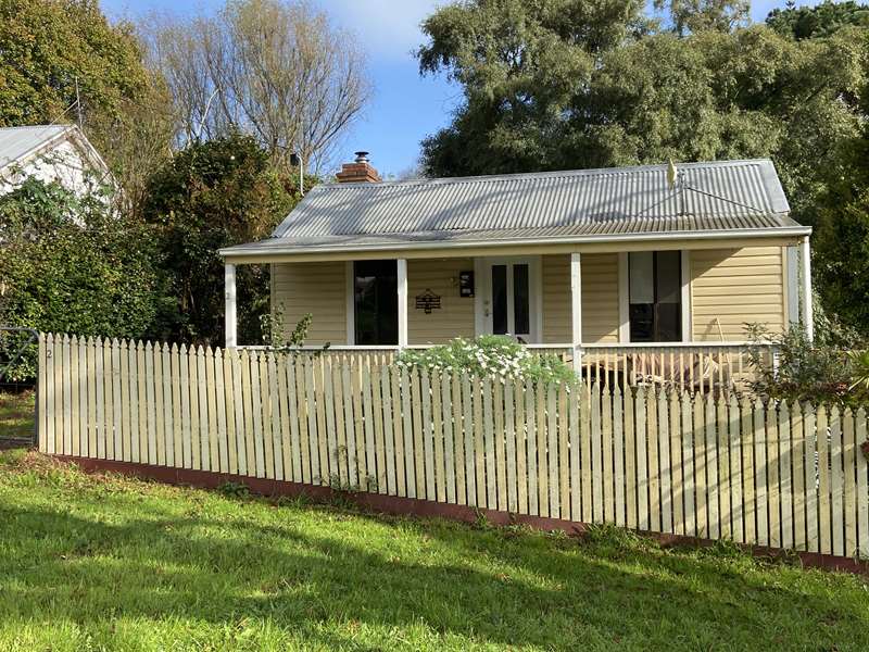
Police Station - built in 1890.
Turn around and turn left onto Victoria Road, and then left into Smith Street.
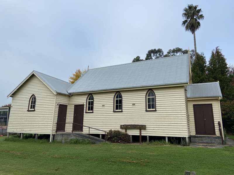
36. Loch Public Hall
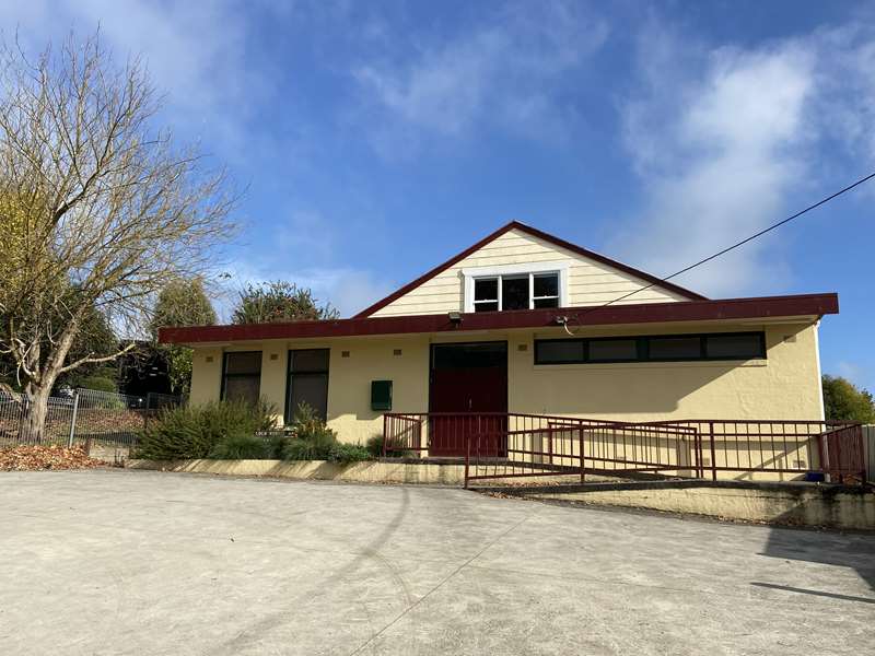
Built in 1891. The front section was added in 1960 when the hall underwent major changes.
37. 22 Smith St
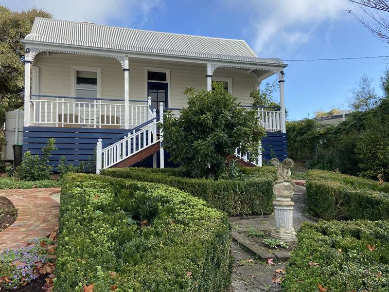
Cottage built in approximately 1907.
Head back to Victoria Road to where you began the walk.
Photos:
Location
Cnr Smith Street and Victoria Road, Loch 3945 View Map


")