Jamieson to Woods Point Drive

The drive from Jamieson to Woods Point Drive is 57km long. Once upon a time - not so very long ago - the roads between Jamieson and Woods Point led to pure gold. Today. these sleepy roads are home to treasure of a different sort. Amid the rivers and mountains of this beautiful country, you'll find plenty to discover. Whether you prefer to explore from a 4WD, on foot, on two wheels, or on horseback, you'll encounter a distinct natural history. In spring. the bush is alive with native orchids & wildflowers. Spend a few hours bird watching. Or simply enjoy the dappled shade beneath the tall timber.
Linger along the byways of the region. There are traces of the past everywhere - if you know where to look. Like long forgotten bush cemeteries, home to the earliest European settlers. Or the grand old buildings, constructed during the gold rush that pepper the streets of the small towns.
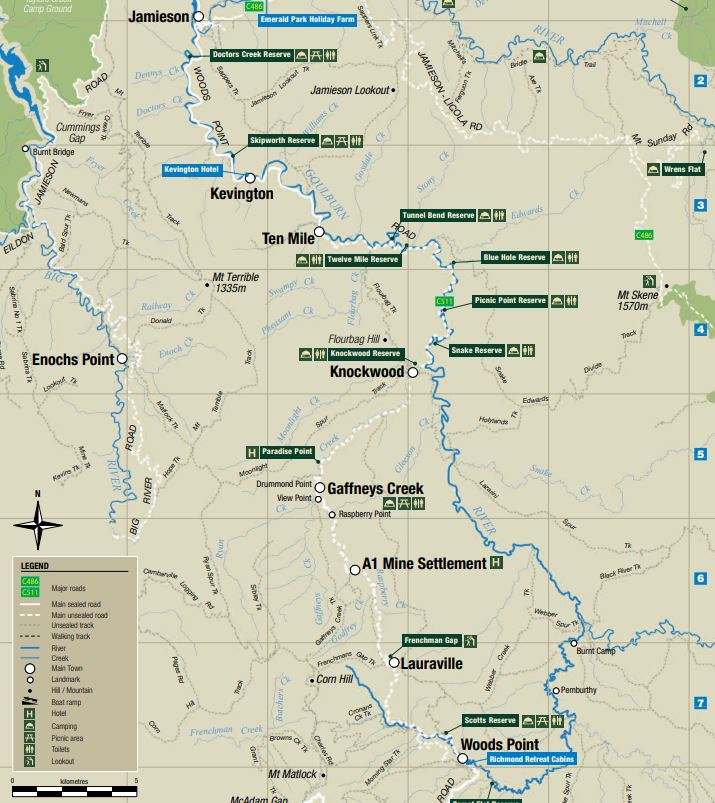
The drive from Jamieson to Woods Point passes through Kevington, Ten Mile, Knockwood, Gaffneys Creek, A1 Mine Settlement and Lauraville. For a significant portion of the trip the road runs beside the lovely Goulburn River.
The road is only partly sealed. You can find many rest areas along this road where you can hove a picnic and a swim in the Goulburn River. This area is in the Upper Goulburn State Forest.
There are many places to stop including (in the direction from Jamieson to Woods Point):
Scots Mist Day Visitor Area
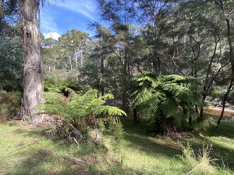
Location: 3885 Mansfield-Woods Point Road, Jamieson
Facilities: None
Camping: No camping or overnight parking allowed.
Notes: Across the road (eastern side) is the 'No Sweat Diggings'. Go up some steps and follow the pathway. This site is an excellent example of an alluvial sluicing site, where the main features - an open cut and tail race - are still in a relatively stable condition. The site has not been disturbed since mining ceased. Its condition suggests that mining occurred here in the beginning of the twentieth century.
The tail race, up to 2m deep and 1.5m wide with vertical sides leads into the south west corner of a substantial open cut. This would have been used to drain water from the open cut to the Goulburn River. The open cut - itself is 10m wide by 15m deep and approximately 150m long with a few open adits cut into its vertical walls. The race that supplied water for washing the gold bearing material through the sluices, is located along the south side of the open cut.
There are three or four house sites near the western end of the open cut. These house sites are distinguished by piles of rubble stone, the remains of chimneys, and scatters of glass and pottery figures.
Quilton North Day Visitor Area
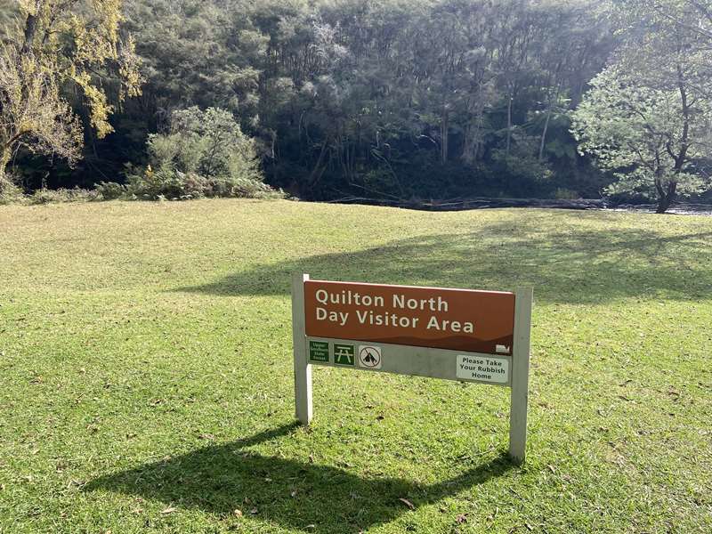
Location: 4010 Mansfield-Woods Point Road, Jamieson
Facilities: One picnic table
Camping: This is a day use area. It is accessible to caravans. No camping or overnight parking allowed.
Notes: Located beside the Goulburn River with a good sized grassy area.
Doctors Creek Reserve
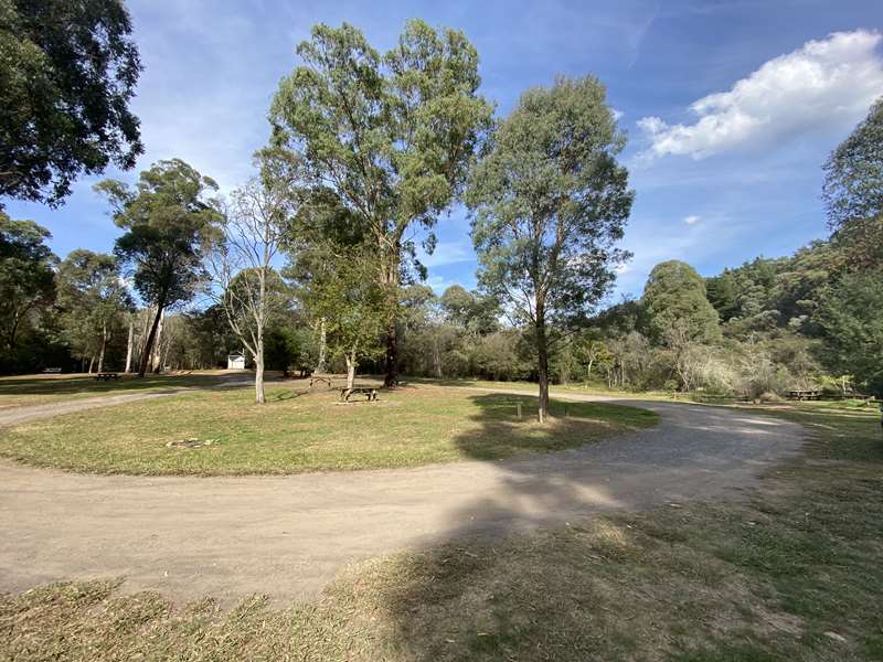
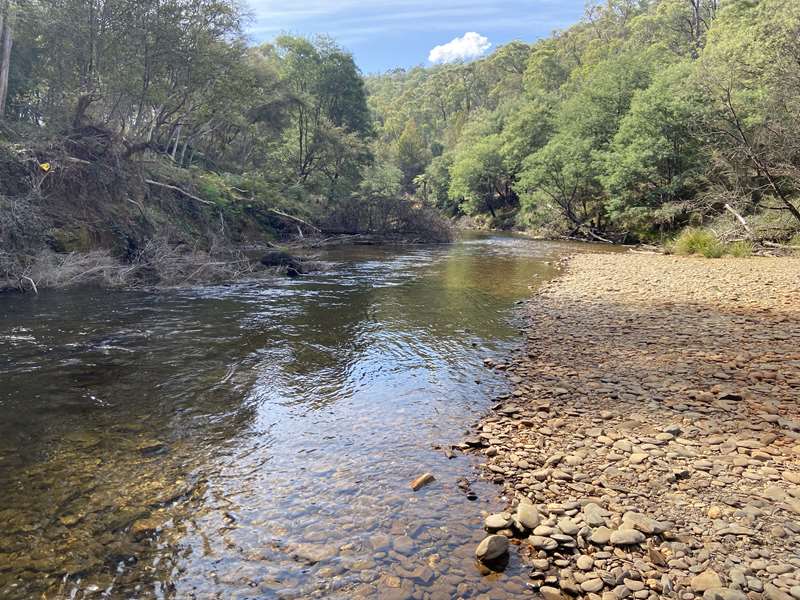
Facilities: Eight picnic tables, firepits and toilets. Goulburn River fishing access point.
Camping: Camping is permitted.
Notes: Located beside the Goulburn River. There is an area of tree ferns on the opposite side of the river.
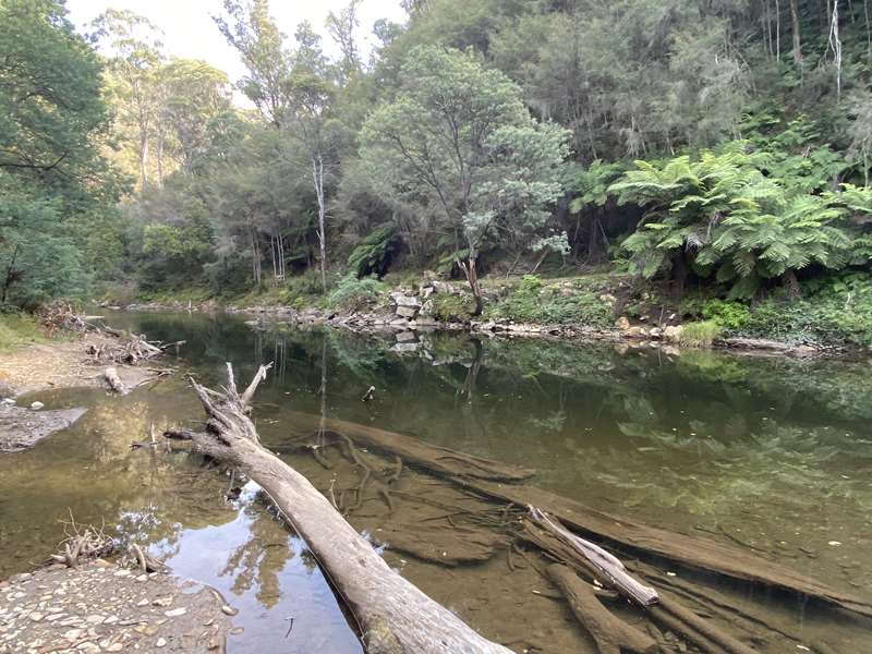
Burns Bridge Day Visitor Area
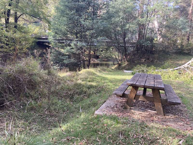
Facilities: Small grassy area with one unshaded table.
Camping: This is a day use area. No camping or overnight parking allowed.
Notes: Located beside the Goulburn River.
Flour Bag Reserve
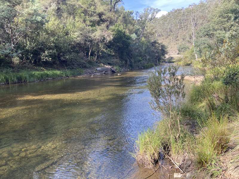
Facilities: No tables, toilets.
Camping: Camping is permitted.
Notes: Located where Flour Bag Creek enters the Goulburn River.
Tunnel Bend Reserve
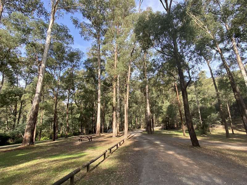
Facilities: One table and toilets
Camping: Camping is permitted.
Notes: Access to the Goulburn River at multiple places and several beach areas. There is a deep pool at the north end of the carpark.
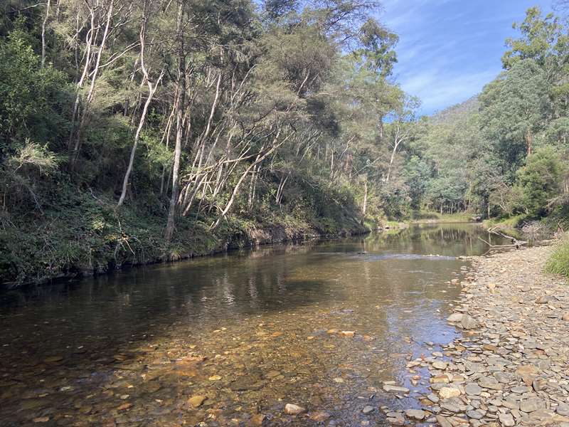
Twelve Mile Reserve
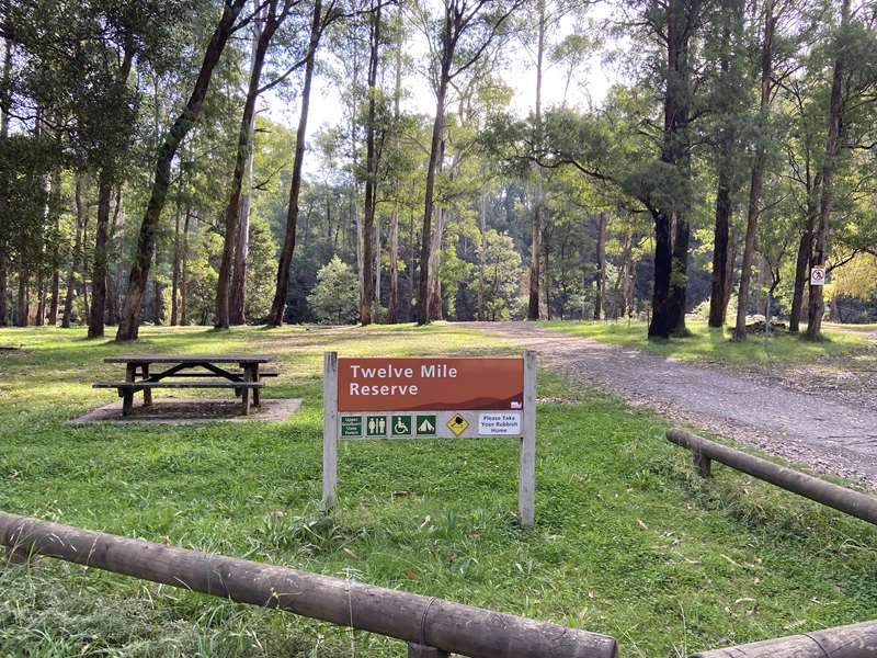
Facilities: Three tables and toilets
Camping: Camping is permitted.
Notes: Access to the Goulburn River.
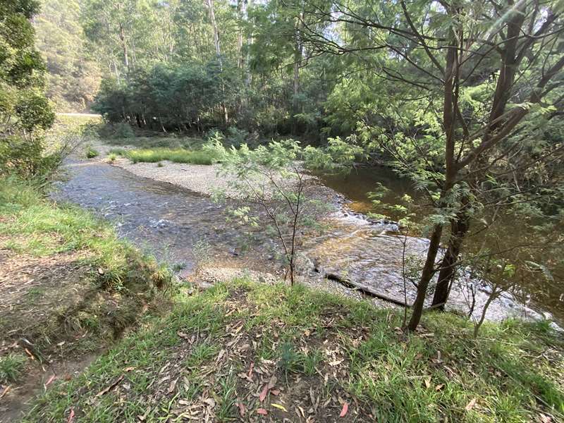
Blue Hole Reserve
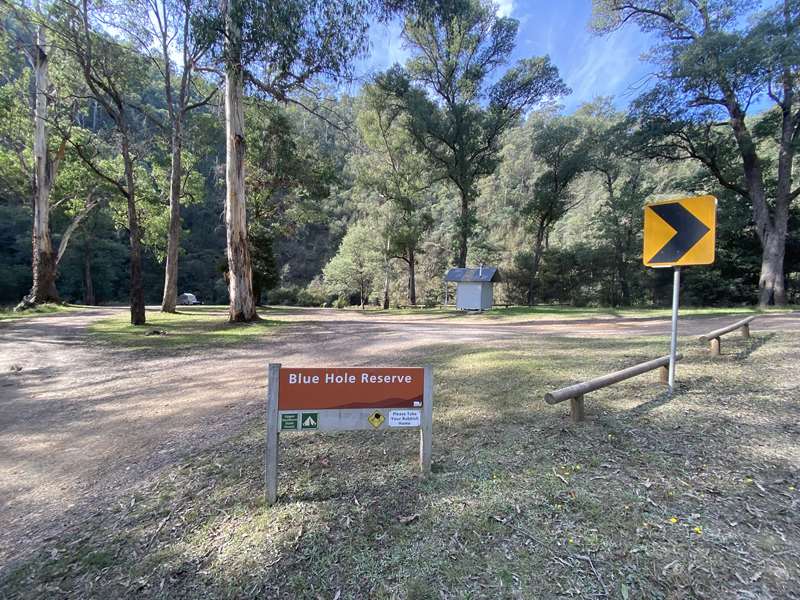
Facilities: No tables, toilets
Camping: Camping is permitted.
Notes: Access to the Goulburn River. There is a deep pool at the north end of the carpark.
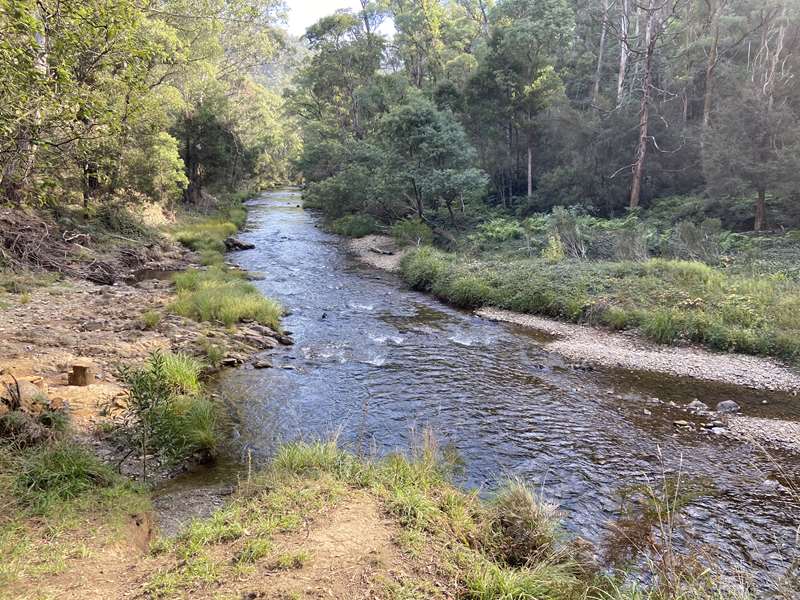
Picnic Point Reserve
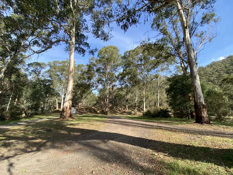
Facilities: No tables, toilets
Camping: Camping is permitted.
Notes: Access to the Goulburn River with a beach area with slow water.
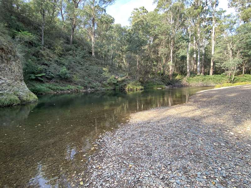
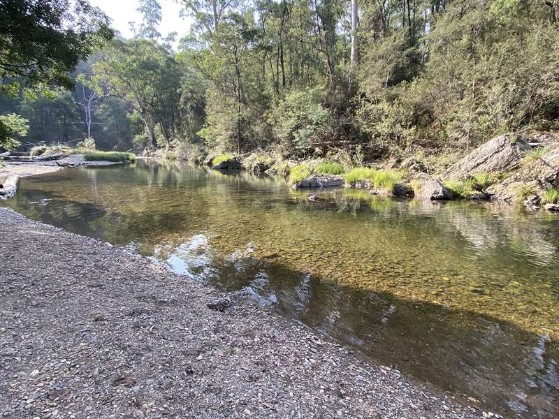
Snake Reserve
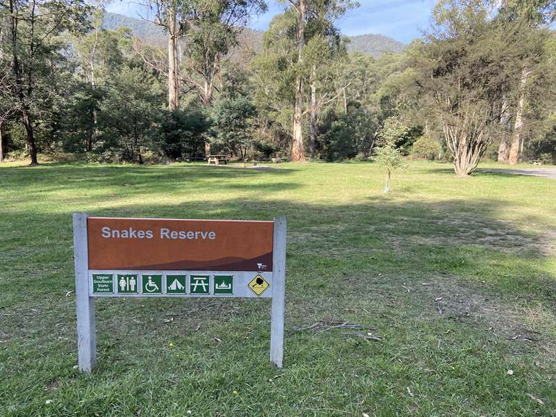
Facilities: Four tables, toilets, fireplaces
Camping: Camping is permitted.
Notes: Short track to Goulburn River with a rocky beach.
Knockwood Reserve
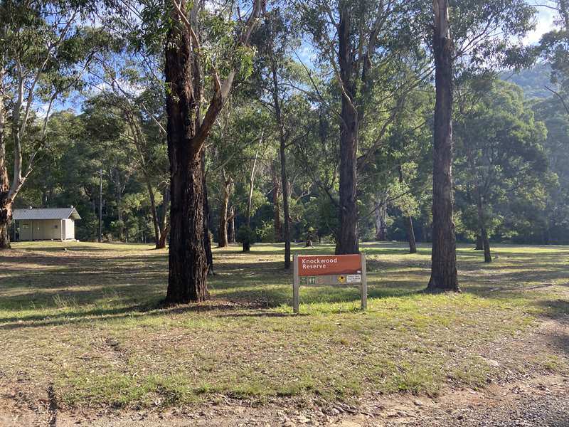
Facilities: No tables, Toilets
Camping: This is a day use area. No camping or overnight parking allowed.
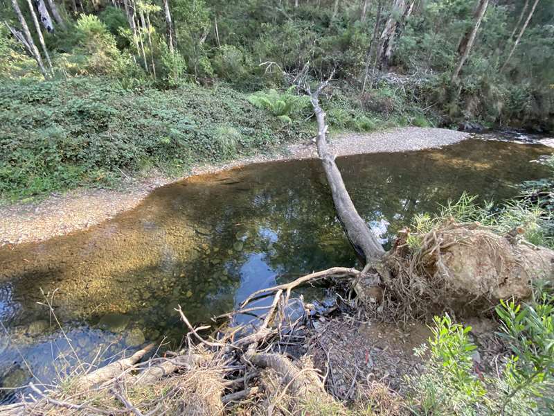
Notes: Tracks lead down to the Goulburn River which is narrow and overgrown with blackberries. The river descends down with some small rapids.
Gaffneys Creek
There are information signs about Paton Flat and Drummonds Point (7407 Mansfield-Woods Point Road, Gaffneys Creek)
At Trenfield Reserve (7477 Mansfield-Woods Point Road, Gaffneys Creek) there is an information sign, picnic table and some historical equipment.
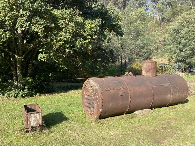
Gaffneys Creek derived its name from Thomas Terence Gaffney, (fondly known as 'Red'). It was also known at times as 'Lauraville'. In the spring of 1859, Thomas crossed over the Mount Terrible range from the Big River goldfields to the Goulburn River, and began sluicing somewhere near Knockwood. Thomas was accompanied by his cousin William Quin. They cut a water race around the hill from Gaffneys Creek and found their first gold in 1860.
John Nolan (a short, strongly built Newfoundlander nicknamed 'Codbanger') and his friend John Dempsey probably had a better claim than Thomas Gaffney to the first discovery of gold at Gaffneys Creek. They first came across from the Buckland Goldfields in 1854 to the short-lived rush at Cashines Point near Jamieson, and on their return in the spring of 1857 with Burns and Cregan, they were the first to find payable gold at Enochs Point. Two years later in 1859, Nolan and Dempsey crossed over Mount Terrible on a more southerly route than Thomas Gaffney and came down through the steep country to find rich alluvial gold near the junction of Gaffneys and Raspberry Creek.
The Rewards Board however, gave Thomas Gaffney the credit for leading the way to the Upper Goulburn Goldfields, and the reward must have been for being the first miner to arrive, rather than being the first miner to find gold. This was a terrible blow to Nolan and Dempsey, and in John Nolan's words...
'We took up alluvial claims which turned out very good. The first paddock we worked yielded 36oz of gold. In this claim we found the first quartz reef ever found in the ranges which we named Dempsey's Reef. On the cap we dollied 45oz to the ton, the reef was registered in October 1859.'
Gaffneys Creek Reserve
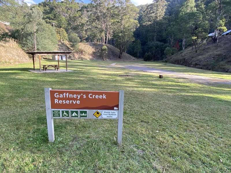
Facilities: Shelter with table, unshaded table, toilets, cricket pitch, fireplace
Camping: Camping is permitted.
Notes: Beside Raspberry Creek. Memorial to Thomas Terrence Gaffney, the pioneer after whom Gaffney's Creek was named. This tombstone came from the Jericho cemetery and was erected by the Gaffney's Creek Progress Association in 1982. The St Mary's Catholic Church stood on this site 1865-1955. When the local population declined it was not used for several years and it burnt down in 1955. Mansfield Parish sold the site in 2009. The commemorative plaque was dedicated by Fr Joe O'Shea PP as part of Mansfield Parish's 150th Anniversary celebrations on Sunday 27th January 2013
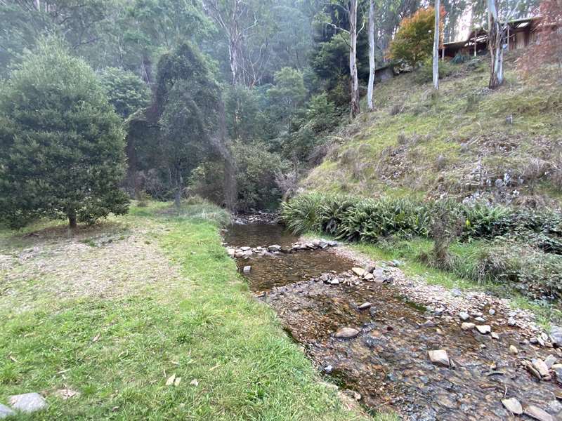
A1 Mine Settlement
Boom to bust and rise again - A prospector from the Big River goldfields, Terence 'Red' Gaffney, was the first to be officially recognised as searching for gold in this area. The beginnings of the town came in 1862 after the discovery of rich gold-bearing reefs at Raspberry Creek. The name 'A1' derived from the quality of gold mined here, it was deemed as 'first class'.
During the late 1860s the area became known as 'Castle Reef' or 'Castle Point', and had a population of around 300 people and boasted two hotels (The Castle and The Globe), a school, church, general store and post office. The town's industry was centred on a crushing machine that worked the three gold reefs in the area. These sites and others were amalgamated into the A1 Gold Mining Company in December 1864 and operated under many different tributers until 1976. The A1 Mine Settlement then almost became a ghost town. In 1978 the mine was purchased and resumed working under the name of Gaffneys Creek Gold Mine N.L.
An old pioneer, reminiscing in 1896, told of the find.
'The Castle was a superb quartz reef, embedded in a cliff face near the creek and extremely rich with gold. There in 1862, Harry Edge, Jem Brown and William Hogarth, pegged out into one of the most remarkable claims I ever remember coming across. They knew it not, at the time of marking, but it was the 'breakoff' of an immense dyke, crumbled through countless ages in the gulch beneath, it had filled into a depth I have mentioned (30 to 40 feet)...
At length and by pure accident, they struck the massive dyke, towering a hundred feet above their workings, while for a month they had been working beneath it staring them in the face while, ever and anon shedding first droppings into the claim... Every piece (of quartz) almost showed gold, many specimens blazed with it...
According to history books, the A1 Mine produced in excess of 450,000 ounces of gold and was one of Australia's longest operating mines having been worked for almost 130 years, from 1862 through to its closure in 1992. The lure of gold was too great, and in 2009 the mine was reopened, a feasibility study completed, and mining recommenced in 2012. There is still gold at Gaffneys Creek, and the old A1 Mine could yet see further years of glory.
Godfrey's Creek
Marchbank's Sawmill 1903-1916 - This is the location of a small steam driven sawmill operated by James (Jim) Marchbank from 1903 to 1913, and subsequently by Bob Ross until 1916, when the engine was taken to Woods Point by Tom Catterson.
Three men and a boy, Charlie Page, were employed, and with only one saw-bench, milling was tedious. First they had to broad axe a flat on the log, then saw it into flitches with a breaking-down saw before using a smaller saw to turn the flitches into timber. The mill, with the scatter of logs around it, became a nuisance to road traffic, and in 1905, the Howqua Council tried to have it closed. However, Marchbank had a great deal of popular support, and the mill remained where it was for many years.
Jim Marchbank was the star footballer of Gaffneys Creek; noted as much for his ferocity on the field as for his gentle manners off it. He played league football with the Carlton Football Club from 1903 to 1913, including participating in the premiership sides of 1906 to 1908, and he had to travel to Melbourne by train each weekend for the game - all this whilst operating his small sawmill. On one trip, detectives boarded the train and found him in possession of a portmanteau containing 447 ounces of gold. Gold-stealing was, a serious offence in Victoria, but Marchbank claimed that he was ignorant of the laws relating to gold stealing and he refused to divulge the origins of the gold. In the subsequent court case he was fined 100 pounds with 10 pounds 10/- costs, and the gold remained in the mint unclaimed. Some people connected the then manager of the A1 Gold Mining Company, Fred Stock, an associate of Marchbank in Mackays Quartz Company with the incident. Stock left the A1 Gold Mining Company shortly afterwards, but no action was taken. It is a wonder that Marchbank got off so lightly. His popularity in the community was not affected as everybody except the mine owners regarded gold stealing - within reasonable limits - as fair game. Marchbank retained his seat on the Council and his reputation intact.
Marchbank was awarded a gold medal in 1911 for the 'most popular, fairest and best player for the Victorian Football League season', presented by by A E Spring, proprietor of the Victorian Football Follower. He played more than 100 games for Carlton, and for a time was Vice Captain (Herald, 7th January 1958).
A very sharp business man, Jim Marchbank was the only supplier of sawn timber for a huge project, erection of a battery and a 3000 feet long tramline down to the battery for the South A1 Gold Mining Syndicate Ltd.
Later on Jim Marchbank was one of the Directors of the Mackays Quartz G.M. Co in 1907, together with Fred Stock and Jim Cadan.
In 1909 he defeated T H Allen and was voted into the Lauraville (also known as Gaffneys Creek) Council and was a Councillor up to 1911.
Flitch.- A thin piece of wood, Portmanteau: A case or bag to carry clothing in while traveling, especially a leather trunk or suitcase that opens into two halves
Frenchmans Gap
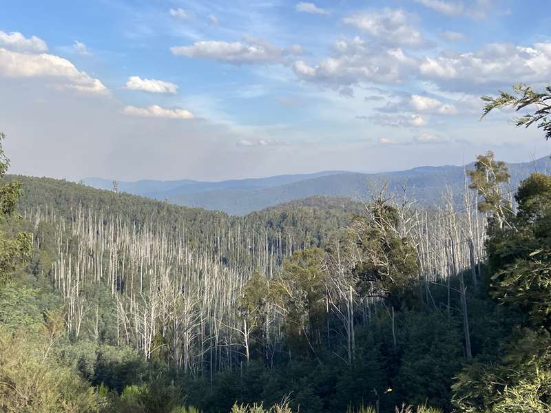
At Frenchmans Gap the road level is 1082m above sea-level.
Jack Scott's Reserve
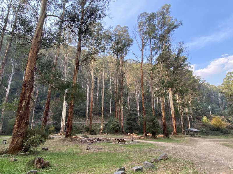
Facilities: Shelter with one table, shelter with two tables, three unshaded tables, toilets, fireplaces
Camping: Camping is permitted.
Notes: The lovely Goulburn River runs around the reserve.
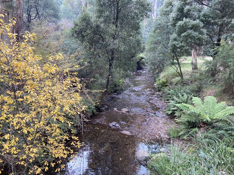
This reserve commemorates one of Woods Point's most respected citizens - Jack 'Warrigul' Scott. After moving here as a youth of 16 in 1936, Jack called Woods Point home for the next 68 years until his death in 2004.
Soon after his arrival here, Jack's adopted town was all but wiped out in the 1939 Black Friday bushfires. Renowned from the outset as a 'man who got things done' Jack threw himself into the towns reconstruction prior to then joining up for the war effort and serving in the 2/11 Commando Squadron in Borneo.
Upon his return, Jack Scott's civic minded approach once again went to work to the benefit of the Woods Point community. At one stage Jack leased the Woods Point Commercial Hotel and the Kevington Hotel at the same time. He was an entrepreneur but also a man who helped others and expected nothing in return.
He worked as a wood cutter, logger, gold miner, builder, plumber, publican and mechanic. In fact, he could turn his hand to nearly any job.
An enthusiastic member of the RSL and the Buffs and a Life Member of the Woods Point CFA and the Gun Club, he could always be found somewhere in town doing something for someone who needed help.
A man with an immense dry humour, Jack was also an excellent raconteur and poet. People would sit with him in the local pub and listen for hours, as Jack relived his life and adventures with the occasional song or poem thrown in.
Woods Point
In August of 1861, the mining registrar described Woods Point as a 'collection of huts and a few stores'. This small mining village had quickly established once the alluvial gold found at Gooley's Creek was traced to its origin, a quartz reef. In 1862 Mabille (Harry) Wood established a store near the river to service the miners of the Morning Star Reef. This location was known as Woods Junction, and eventually became Woods Point.
At its peak, Woods Point was home to around 4000 people, and the town boasted four breweries a court house, police station with lock up, churches, school, a hospital, several doctors, chemist, six banks and a post and telegraph office as well as stores, livery stables, business offices, soap factory, abattoir and slaughterhouse, two local newspapers, 36 hotels and numerous accommodation houses and around 300 houses and nearly 400 tents. The initial boom however only lasted until the 1870s but gold continued to be successfully mined at the Morning Star Gold Mine until its closure in 1972. Several attempts have been made to re-open the mine since then.
Unfortunately, the town of Woods Point was all but destroyed in the 1939 Black Friday bushfires. 1940 saw the rebuilding of a smaller settlement. Woods Point currently has approximately 40 permanent residents.
Access for Dogs:
Dogs are permitted on leash.


