Daisy Hill - Bull Gully Aboriginal Rock Wells


The area's first inhabitants were the Jajowurrong people. Evidence of how these people survived in these dry forests can be found at Bull Gully Rock Wells. These wells provided a valuable source of drinking water by collecting rain in trenches dug from outcropping sandstone. The wells are the best known example of their type in Victoria.
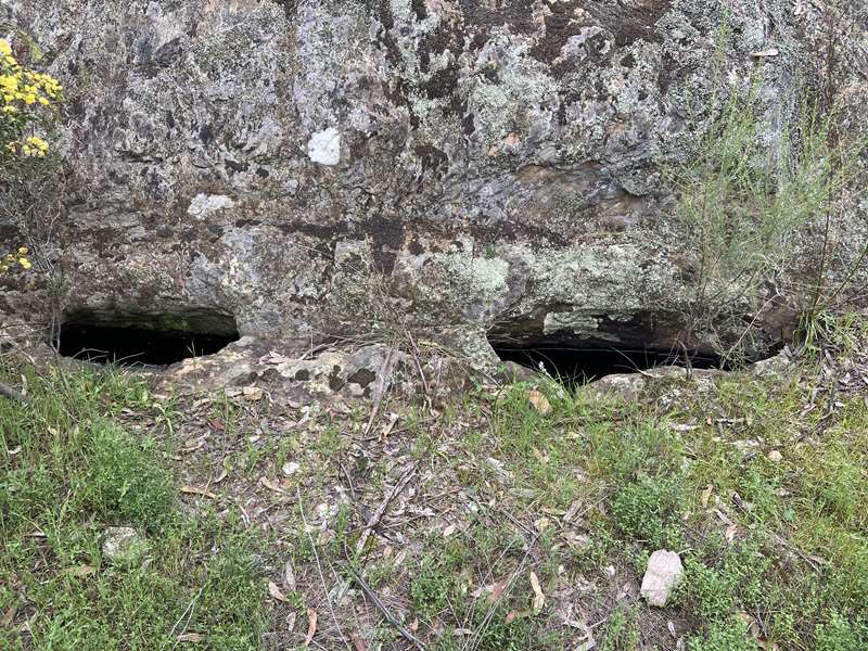
Four sets of aboriginal rock water wells are located in the bushland of the Maryborough region. The holding capacity of these wells is 168 litres and they are regarded as the best example of such wells in Victoria. Four holes have been excavated into the base of a large outcrop rock. Their position is such that they are a natural catchment for rain falling on the rock above. Three of these holes are united under the surface becoming, in effect, one sizeable 'tank' with three openings. Owing to the lack of permanent creeks the aborigines relied on these wells for their drinking water when passing through this region. The openings to the wells were covered with flat rocks to prevent pollution of the water and to prevent evaporation during summer months.
In the past the wells were thought to have been constructed for other purposes. The Melbourne "Herald" of 22/01/1919 published an article on the 'sacrificial alter or mysterious rock' at Maryborough. The writer apparently assumed that victims were killed on the rock and their blood collected in the four holes at the foot of the rock.
On 14/03/1919 A.S. Kenyon (Geological Survey of Victoria - Records) wrote describing the "Aboriginal Pigment Quarry near Maryborough", saying there was no doubt the objective was pigment and the excavators were the aborigines.
Locally they have always been accepted as water wells because the Jajowurrong aboriginals were seen to be using them as such, in the early days.

An information sign at the site displays the following text:
These wells were constructed by Aboriginal people prior to European settlement. They are one of four sets of rockwells recorded in the Maryborough area.
The wells were dug into the sandstone to gain full advantage of the natural rainwater catchment formed by the rock ledge. Additional water seeps into the wells through cracks which run through the sandstone.
The narrow mouths of the wells serve to reduce evaporation and pollution by animals or windborne debris. They may originally have been covered to further conserve water. The efficiency of the wells has been noted by the local residents, who have never known them to dry up.
The maximum depth of the wells is about 130 centimetres, and they have a total capacity of approximately 160 litres. This represents a valuable water resource, particularly in dry seasons.
PLEASE HELP TO PROTECT THIS SITE AND OTHER ABORIGINAL CULTURAL ITEMS.
They are part of our Australian cultural heritage.
How to get there
Battery Dam is located approximately 3km south of Maryborough off the Maryborough/Majorca Road (Inkerman Street). Enter Graves Track and travel west about 1.2km along the track to Battery Dam. Look out for a sign beside Majorca Road which says "Battery Dam Historical Site 1.2km". The track is negotiable by 2WD cars.
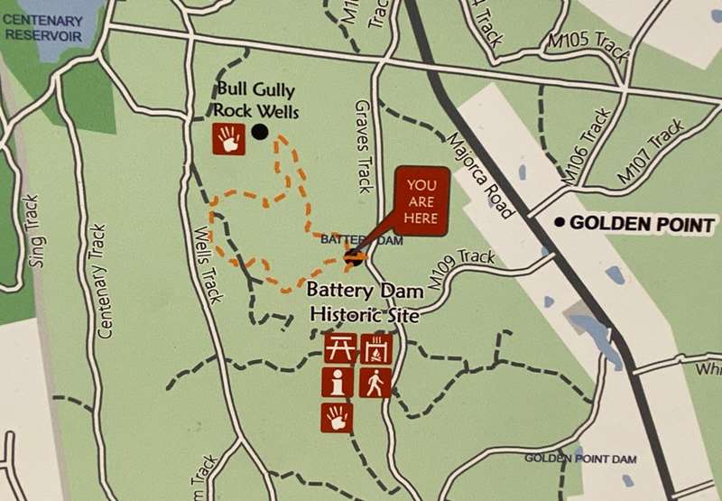
There is a 2.5km loop walking track to these wells from the Bull Gully Battery Dam and Distillery ruins on Graves Track.
Bull Gully Aboriginal Rock Wells Walk Map

Review:
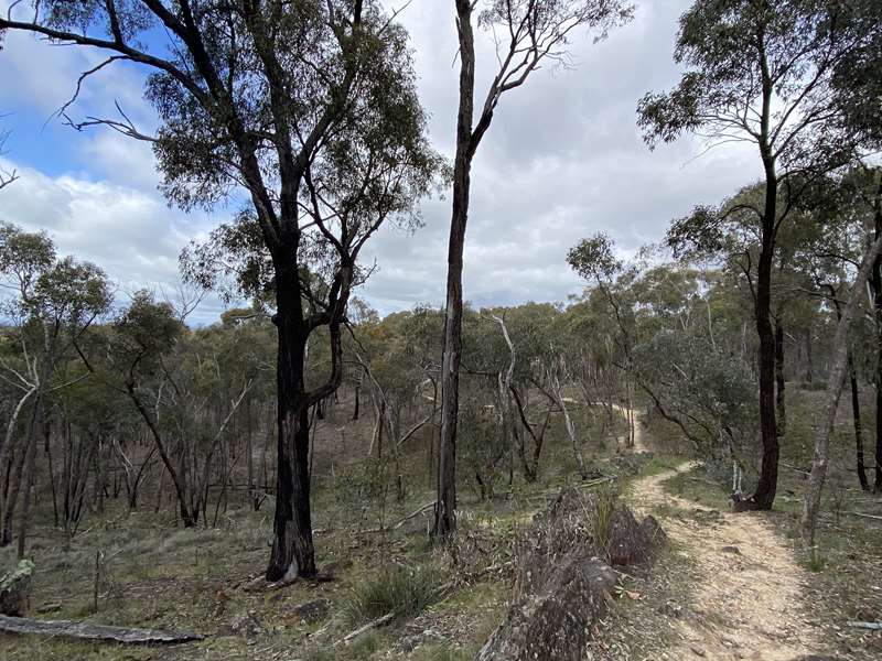
There is a well-defined track which winds through light bushland from the interesting Battery Dam and Distillery site. Three are quite a lot of intersecting branch tracks but the trail is marked by poles with white arrows on a green background. There are wildflowers to see in Spring.

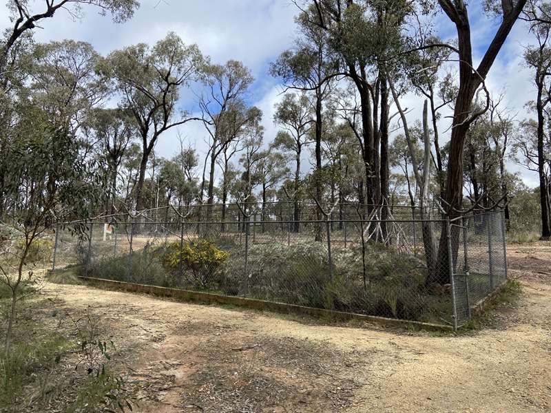
There are four rock wells surrounded by a wire mesh fence with barbed wire on top. A seat is provided to rest on.
Photos:
Location
Graves Track, Daisy Hill 3465 View Map


